


PRECISION IN SPECIAL MISSION

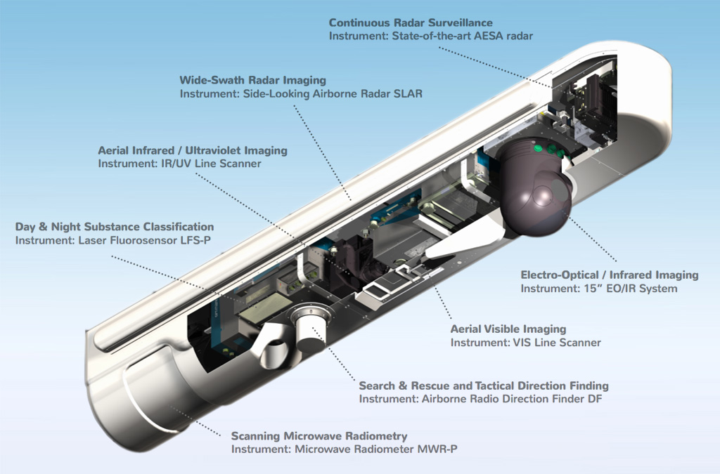
OctoPod
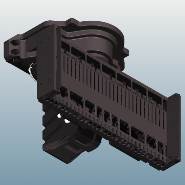
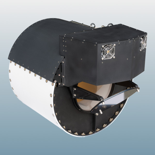
One integrated solution to mount the different sensors is the OctoPod, a unique all-in-one belly-mounted airborne surveillance pod. The OctoPod was jointly developed by Aerodata and its subsidiary OPTIMARE.
It enables multi-sensor-based airborne surveillance operations, while minimizing space consumption and cost for aircraft modification. The OctoPod can be equipped with up to eight sensors.
Capabilities and related Sensors
Continuous Radar Surveillance
Instrument: State-of-the-art AESA radar
- Active Electronically Scanned Array (AESA) technology
- offered by several suppliers
- continuous detection & tracking of
- moving maritime targets
- moving land targets (GMTI)
- airborne moving targets
- small target mode and priority track mode
- target classification using ISAR
- Spot and Strip SAR Imaging
- Search and Rescue beacon detection (SART)
- weather and turbulence detection mode
- dual mode capability
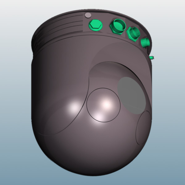
Electro-Optical / Infrared Imaging
Instrument: 15" EO/IR System
- offered by several suppliers
- available cameras:
- infrared
- daylight
- nightvision
- configurable payloads for:
- optical target identification
- target tracking
- image enhancement
- laser ranging
- evidence gathering
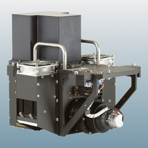
Search & Rescue and Tactical Direction Finding
Instrument: Airborne Radio Direction Finder (DF)
- scanning of Search & Rescue frequencies
- COSPAS / SARSAT
- broadband capability in VHF/UHF band
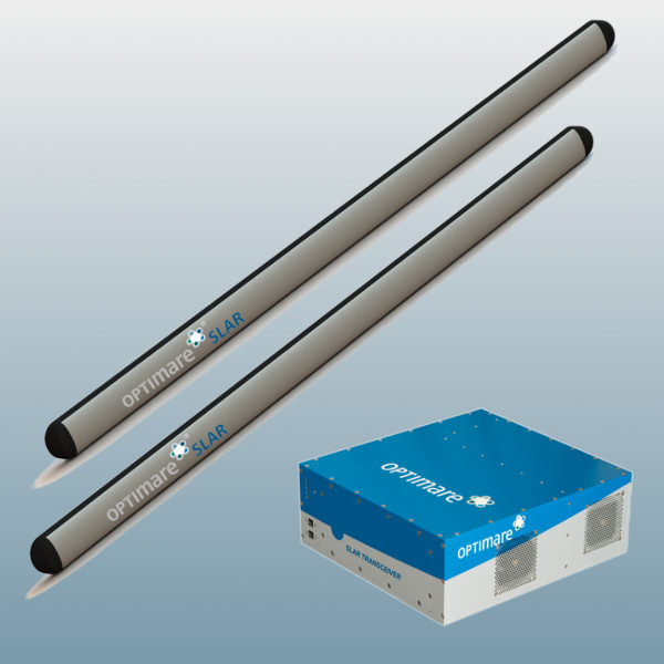
Wide-Swath Radar Imaging
Instrument: Side-Looking Airborne Radar (SLAR)
- long-range detection of oil spills
- detection of maritime targets
- surveillance of fishing activities
- detection & mapping of speed boat wakes
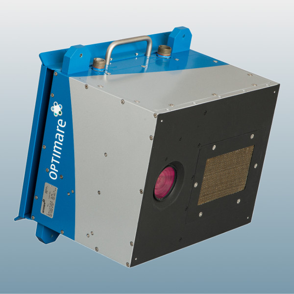
Aerial Infrared / Ultraviolet Imaging
Instrument: IR/UV Line Scanner
- short-range analysis of oil spills
- wide field-of-view (90°)
- mapping of relative oil spill thickness
- thermal mapping
- day & night spill detection
- sensitive to all layer thicknesses above 0.01 micron
Aerial Visible Imaging
Instrument: VIS Line Scanner (VIS)
- short-range analysis of oil spills
- wide field-of-view (90°)
- mapping of visual appearance of oil spills
- aerial RGB composite imaging of water & land surfaces
- scene documentation
- "more standardised" use of oil appearance codes due to defined observation geometry
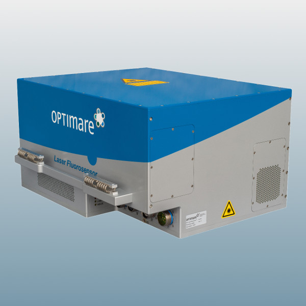
Day & Night Substance Classification
Instrument: Laser Fluorosensor (LFS-P)
- short-range analysis of oil spills
- reliable day & night discrimination between oil & water
- detection of attenuating and fluorescing substances
- rough classification (pollution / no pollution)
- fine classification (type of crude / refined oil)
- water quality monitoring
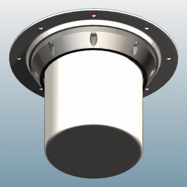
Scanning Microwave Radiometry
Instrument: Microwave Radiometer (MWR-P)
- short-range analysis of oil spills
- day & night / all-weather oil spill thickness measurement (0.05 mm ... 3 mm)
- analysis of oil spill hot spots
- fire detection
- monitoring of moisture penetration of dikes
